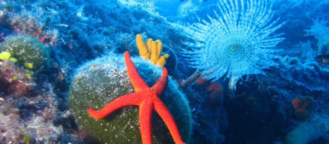
The mapping of marine habitats within the Natura 2000 ecological network sites was carried out on several locations throughout the Adriatic. First projects began in 2011. When mapping marine habitats, at most locations, inventarization of species was done, with a focus on macrozoobenthos.
„Mapping of marine habitats in Natura 2000 site around Šćedro Island“ – 2011.
„Mapping of marine habitats in Natura 2000 site of Kabal peninsula“ – 2012.
„Mapping of marine habitats in Natura 2000 site around Jelsa on Hvar Island“ – 2012.
„Mapping of marine habitats in Natura 2000 site on west coast of Cres Island“ – 2013.
„Mapping of marine habitats and macrozoobenthos species inventory in Natura 2000 sites in Cres-Lošinj archipelago“ – 2014.
„Mapping of marine habitats in Natura 2000 site SE part of Molat Island“ – 2014.
„Mapping of marine habitats in Natura 2000 sites in Zadar County“ – 2014. (12 sites)
„Mapping of marine habitats in Natura 2000 sites of Pag Island“ – 2015.

Marine Explorers Society 20.000 leagues gathers ambitious, comprehensive and creative researchers whose primary interest is marine biology. Members of the Society have wide and professional experience in organizing and carrying out various projects.
2025 © Marine Explorers Society 20.000 leagues. ALL Rights Reserved.
